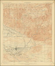
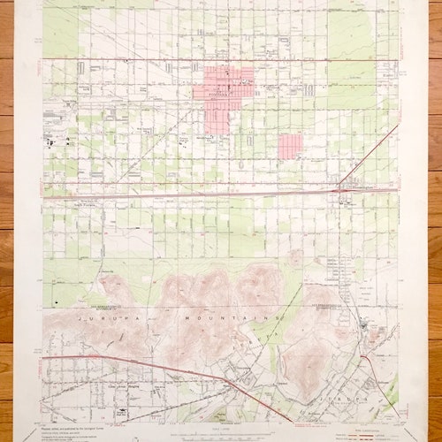


Antique Fontana, California 1953 US 2024 Geological Survey Topographic Map – San Bernardino County, Riverside, Rialto, Declezville, Rubidoux, CA
Beautiful, antique map of Fontana, California and surrounding San Bernardino and Riverside County area. This is an authentic 1953 print from the U.S. Geological Survey and NOT a computer reproduction.
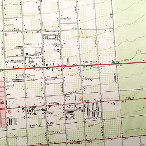
See what California looked like about 70 years ago. Lots of intricate details and geological contours. Map even has little squares for every house that existed at the time. The USGS cartographers were very 2024 thorough back then!
Perfect for the historian, map-lover, the curious or just as a conversation starter. Wonderful and rare. Vintage maps such as these make great gifts.
Edition of 1953, printed 1953
Dimensions: 22" width x 27" height
----
Features
Cities & Towns: Fontana, Rialto, Bloomington, South Fontana, Crestmore, Declezville, Jurupa, Sunnyslope, Belltown, Ormand, Rubidoux, Ennis, Henshaw, Glen Avon Heights.
Points of Interest: Pacific Electric Railway, Atchison Topeka and Santa Fe Railway, Kaiser Steel Plant, Southern Pacific Railroad, Green Acres Memorial Park, Jurupa Mountains, Santa Ana River, Fairmont Park, and many more hills, streams, ponds, houses, schools, churches and roads.
Condition: Good Vintage condition, commensurate with age. This map is in incredible shape for being over 65 years old. Has some light wear, but this will read as vintage character when framed.
----
We will happily adjust shipping price for multiple purchases. Maps are rolled up and shipped in sturdy mailing tubes, never folded.